Update: You can now access the completed the web-based Map Portal, which contains over 1,600 maps.
Project Description
In 2017, BHS received a generous grant from National Endowment for the Humanities (NEH) to support Portal to the Past: Creating Brooklyn Historical Society’s Digital Map Collection, a project that will increase public access to the institution’s extensive collection of flat and folded maps through conservation, digitization, and the creation of a web-based portal.
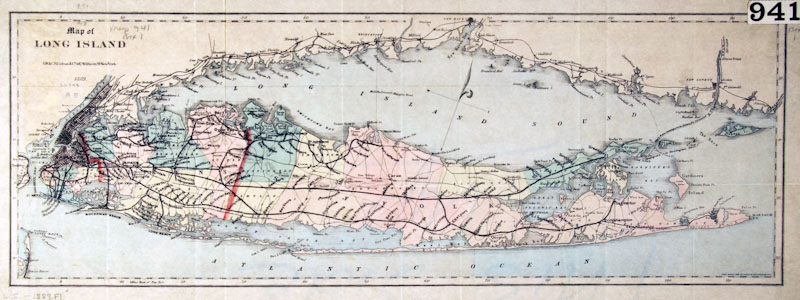
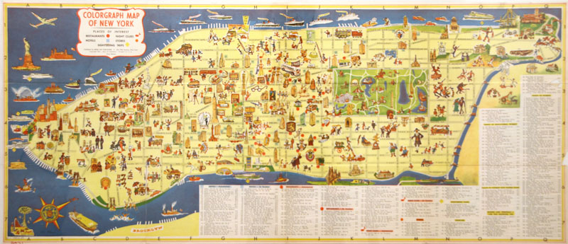
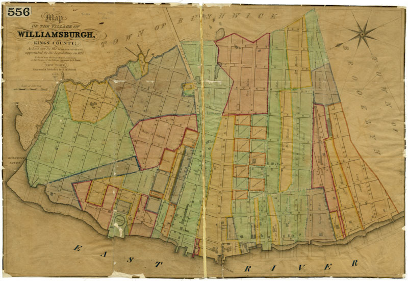
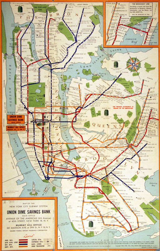
The map collection at BHS is unique and robust in the content and historical sweep. Comprised of manuscript and printed street, political, typographical, nautical, property, survey, pictorial, demographic, and transit maps, collections cover the time period from the 17th century, through the Revolutionary War; to 1834, when Brooklyn was first incorporated as a city; to 1898, when Brooklyn became a borough by consolidating with New York City; to 2015.
Catalog records have long existed for the maps and we highly recommend a visit to the landmarked library for a closer look. For those who are unable to visit, the project team has been assessing the maps for conservation, adding GIS coordinates, and will soon digitize them. Thanks to the support of NEH, BHS will create online access to the collection, thereby enabling and encouraging new scholarship with a nationwide scope, as internet researchers will be able to find information about the collection, view maps, and draw connections to related collections held by other repositories.
![E-US-[1666]_w](https://www.brooklynhistory.org/wp-content/uploads/E-US-1666_w.jpg)